

Village
Chirwa
Chirwa is a small village on the banks of the Tamor River, a common overnight stop on the first days of the Kanchenjunga North Base Camp trek. It is a warm, low-lying settlement among cardamom fields.
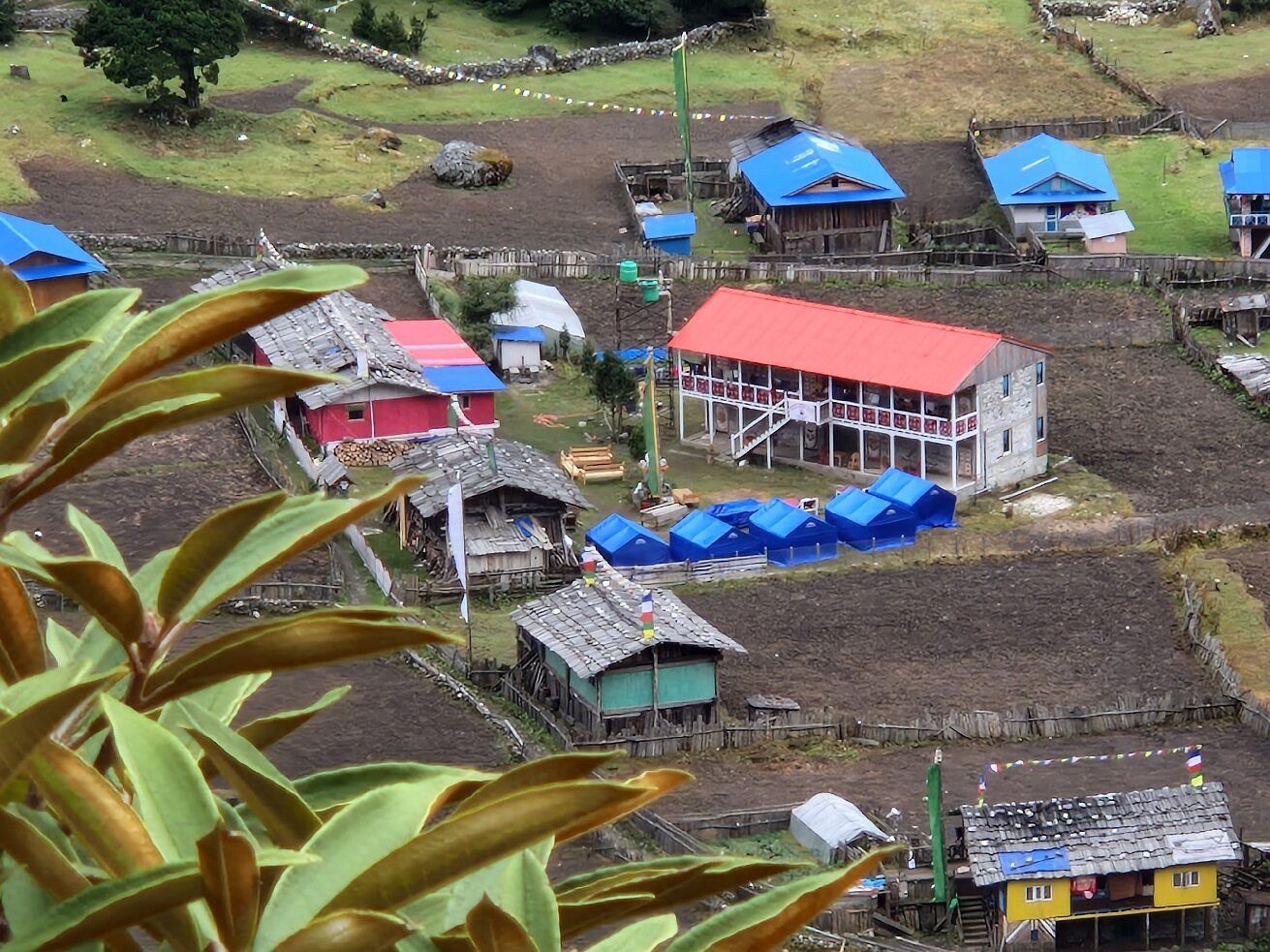
- Elevation: ~1,270 m / 4,167 ft
- Type: Village
- Region: Kanchenjunga Region
- District: Taplejung
- Treks: Kanchenjunga North Base Camp Trek
About Chirwa
Chirwa is a small village on the banks of the Tamor River, a common overnight stop on the first days of the Kanchenjunga North Base Camp trek. It is a warm, low-lying settlement among cardamom fields.
From here the trail continues upriver to Sekathum and the conservation area.
Location and altitude
Chirwa sits at about 1,270 m (4,167 ft) in Taplejung district, in the Kanchenjunga Region of Nepal. Nearby places include Tamor River, Sekathum – Gateway to the Kanchenjunga Trek and Lelep.
Treks that visit Chirwa
Chirwa is part of these Nepal Trek Services itineraries: Kanchenjunga North Base Camp Trek and Kanchenjunga Circuit Trek (North and South Base Camps).
Best time to visit
The best seasons for Chirwa are spring (March to May) and autumn (late September to November). Winter brings snow and cold to the high Kanchenjunga valleys, and the June–August monsoon brings heavy rain, leeches and cloud lower down.
Where is Chirwa?
The exact point on the Kanchenjunga trail, with nearby places for context.
On this map
Nearby places
River
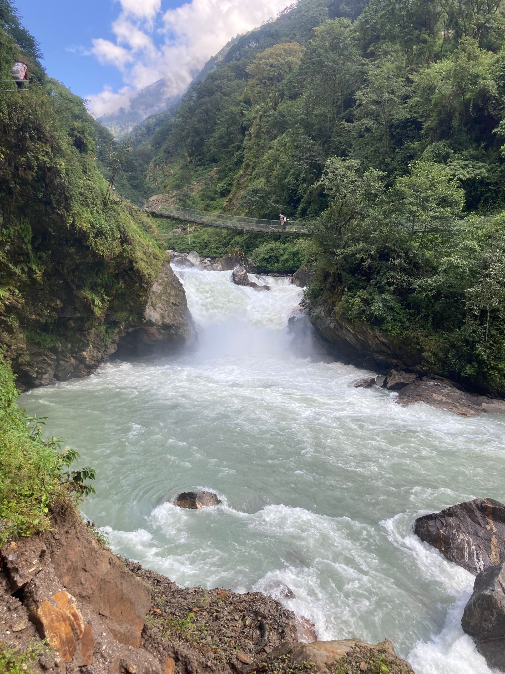
Tamor River
300 m
The Tamor River rises from the glaciers of the Kanchenjunga massif and flows south through Taplejung to join the Arun and Sun Koshi at Tribeni, forming the Sapta Koshi. It is the main river of eastern Nepal’s mountains.
Read place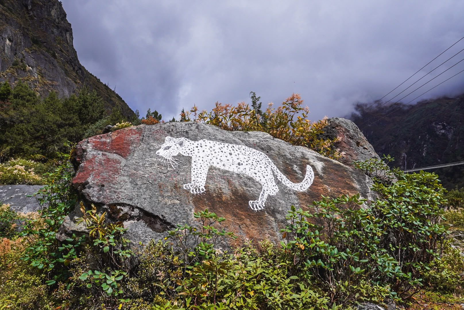
Village
Sekathum – Gateway to the Kanchenjunga Trek
Sekathum
1,640 m
Sekathum, at around 1,640 metres, is a key waypoint on the Kanchenjunga trek. Surrounded by dense forests, rushing rivers and steep mountain valleys, it marks the transition into the remote Kanchenjunga wilderness, with the trail continuing toward Amjilosa, Gyabla and Ghunsa.
Read place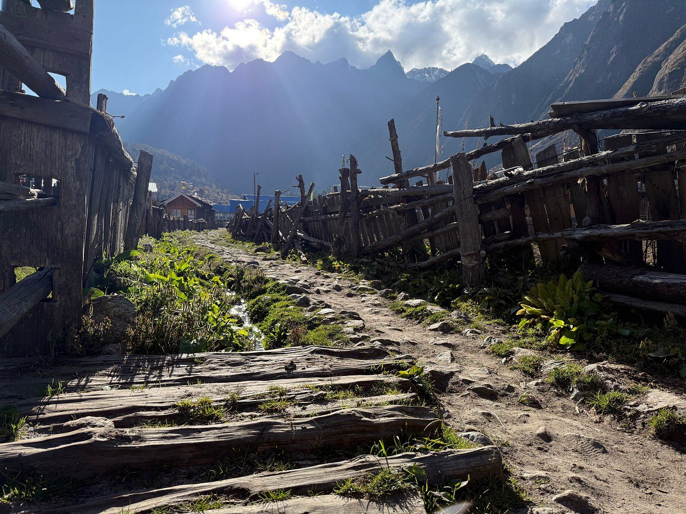
Village
Lelep
Lelep is a village area in northern Taplejung on the route towards the Kanchenjunga Conservation Area. Trekkers pass through on the lower Tamor valley section of the northern route.
Read place