
Conservation area
Kanchenjunga Region
4,474 m
Kanchenjunga Conservation Area is a 2,035 km² protected landscape in eastern Nepal, home to Kanchenjunga, diverse Himalayan ecosystems, rare wildlife and culturally rich mountain communities. It is the heart of the Kanchenjunga trekking region
Read place
Checkpoint
Ghunsa
3,400 m
Ghunsa is one of the most strategically important stops on the Kanchenjunga Circuit Trek. Its elevation of around 3,400 m makes it an ideal acclimatization point before trekkers ascend toward Kambachen, Lhonak, and Pangpema.
Read place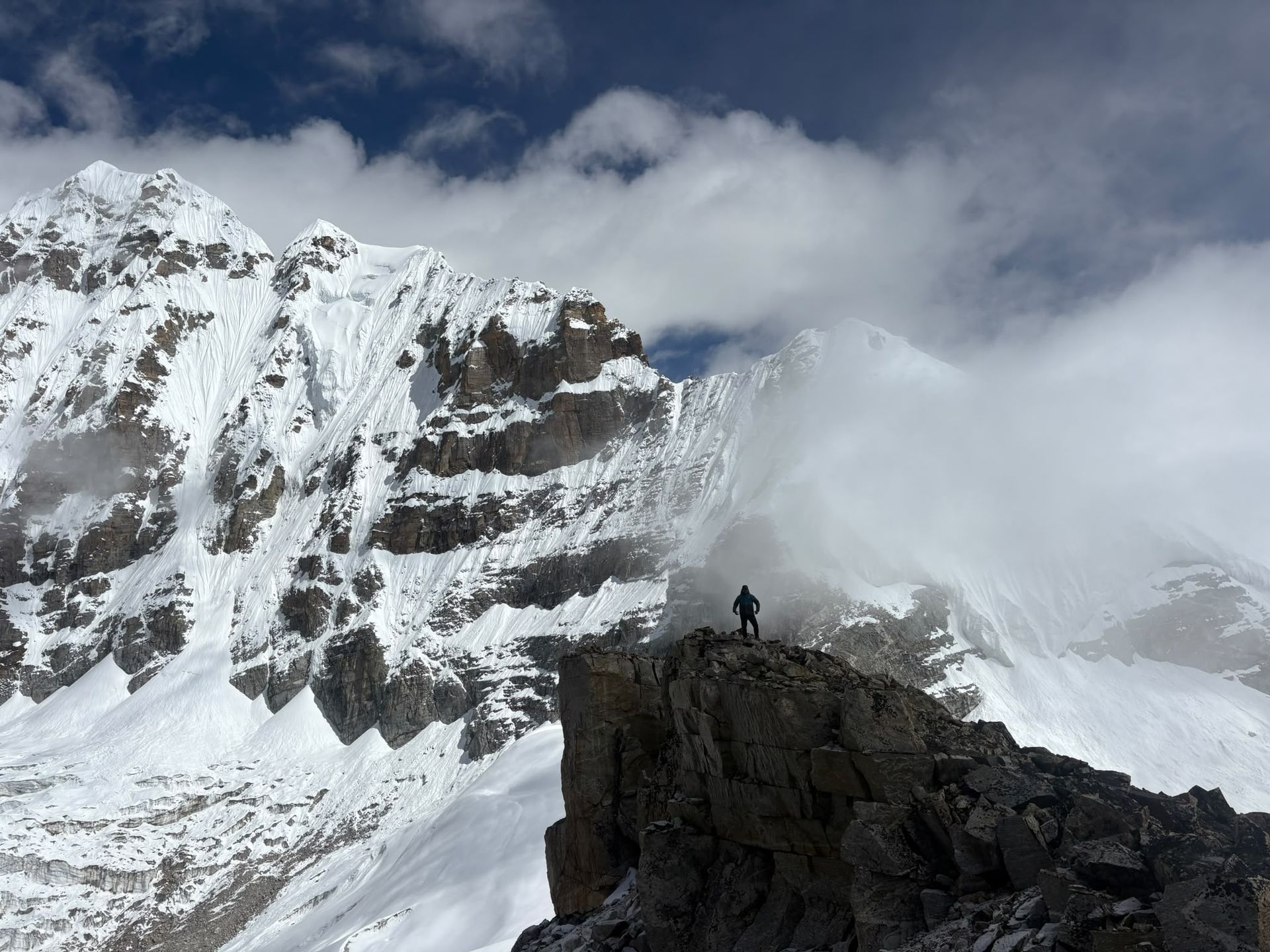
Base camp
4,730 m
Oktang, at around 4,730m, is the spectacular South Base Camp viewpoint of Kanchenjunga, overlooking the Yalung Glacier and southern Himalayan peaks.
Read place
Checkpoint
Yamphudin
2,080 m
Yamphudin, at around 2,080 m, is a remote mountain village in Taplejung and an important stop on the southern Kanchenjunga trekking route. Surrounded by forests, farmland and mountain valleys, it offers trekkers a glimpse of the region’s diverse culture and traditional Himalayan lifestyle.
Read place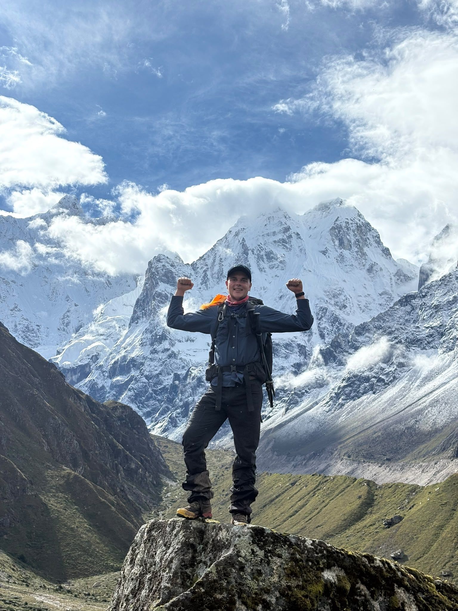
Village
2,510 m
Amjilosa is a remote Himalayan village on the Kanchenjunga trekking route, surrounded by forests and steep mountain valleys between Sekathum and Gyabla.
Read place
Airstrip / airport
Bhadrapur Airport (BDP), also known as Chandragadhi Airport, is an important eastern Nepal gateway for Kanchenjunga trekkers. Located in Jhapa, it connects Kathmandu with eastern Nepal before travelers continue by road toward Ilam, Taplejung and the Kanchenjunga region.
Read place
Town / city
Birthmod
58 m
Birthmode is a rural settlement in eastern Nepal and part of the broader landscape surrounding the Kanchenjunga region. The area reflects the traditional character of Nepal's eastern hills.
Read place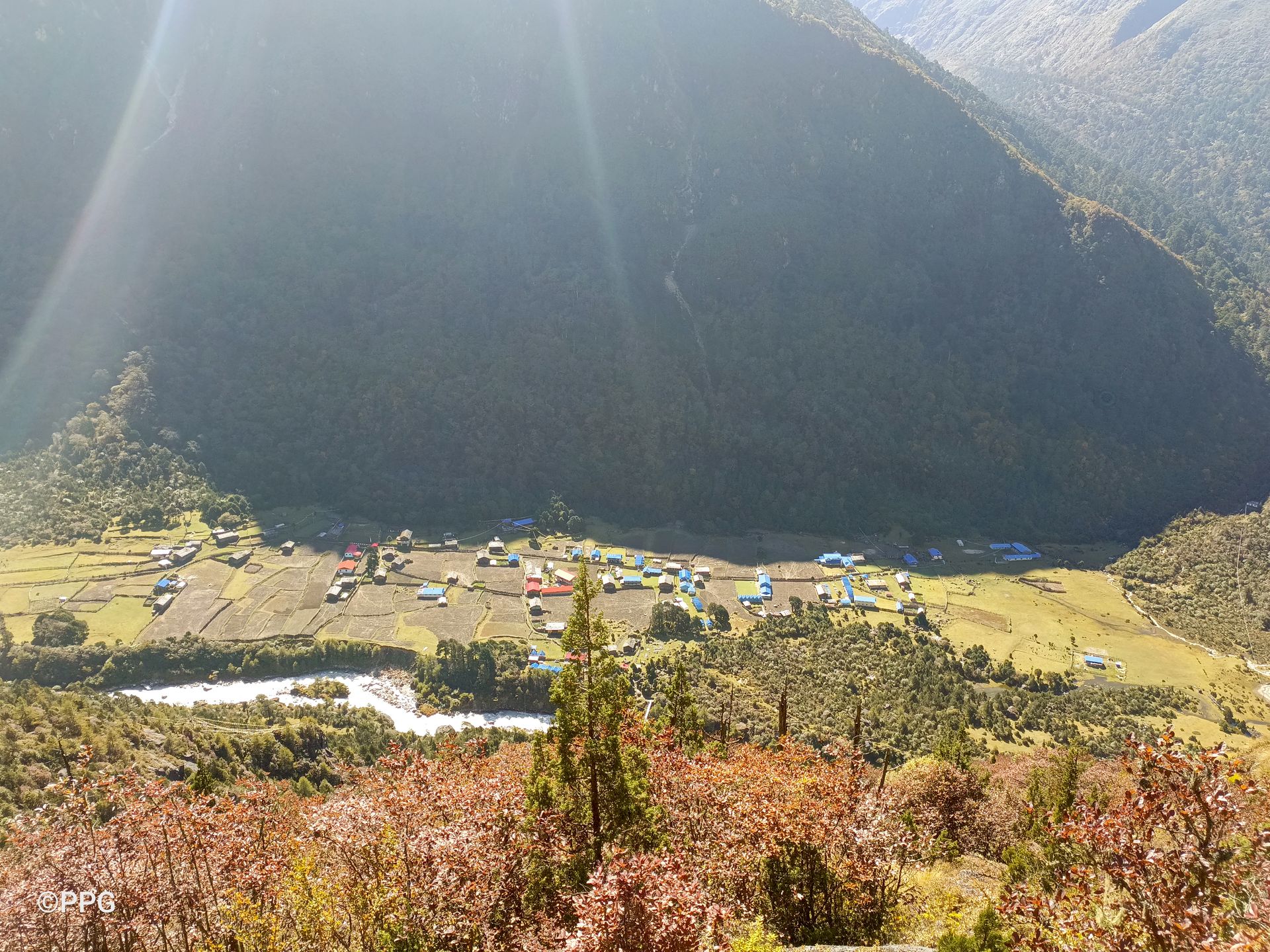
Viewpoint
3,900 m
Ghunsa View Point is a scenic high-altitude viewpoint above Ghunsa, offering views of Phale and the surrounding Kanchenjunga mountains during an acclimatization hike.
Read place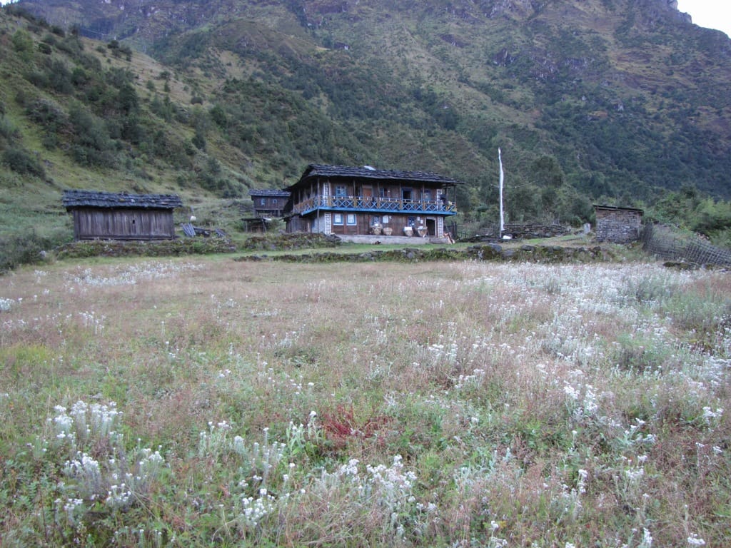
Village
Kyapra
2,730 m
Gyabla, also known as Kyapra, sits at around 2,730m between Amjilosa and Ghunsa on the Kanchenjunga trail. Surrounded by bamboo, rhododendron and pine forests, the village offers a peaceful Himalayan setting and an important overnight stop before reaching Ghunsa.
Read place
Town / city
Ilam is a scenic hill town in eastern Nepal famous for its tea gardens, lush landscapes and strategic location between Bhadrapur and the Kanchenjunga region.
Read place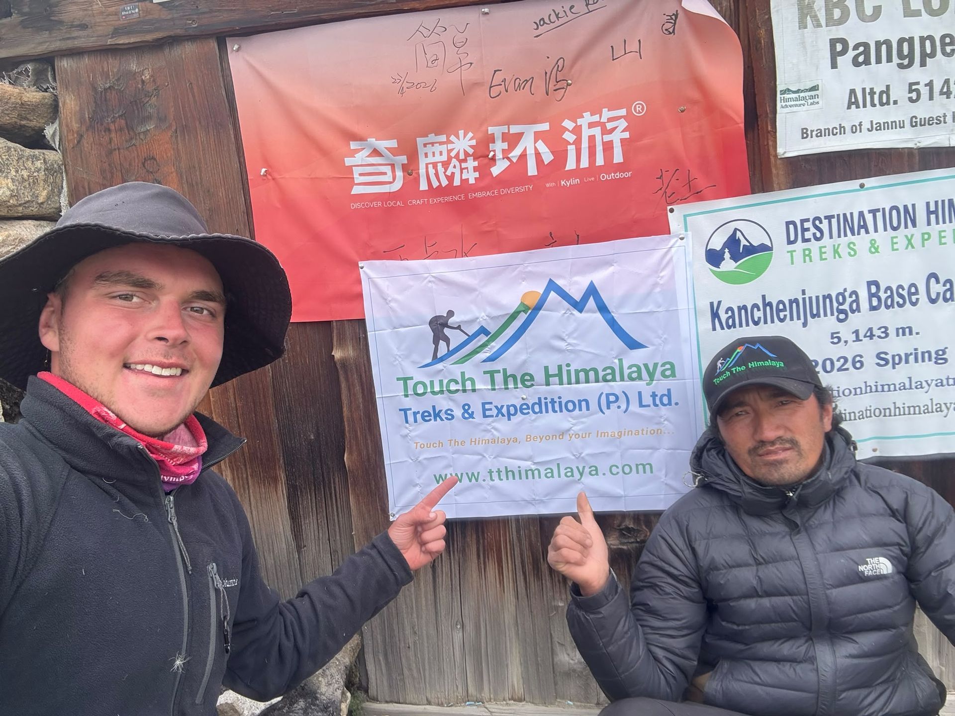
Village
4,145 m
Kambachen at 4,145 m is a remote high-altitude settlement on the Kanchenjunga North Base Camp route, surrounded by dramatic alpine landscapes and views toward Jannu.
Read place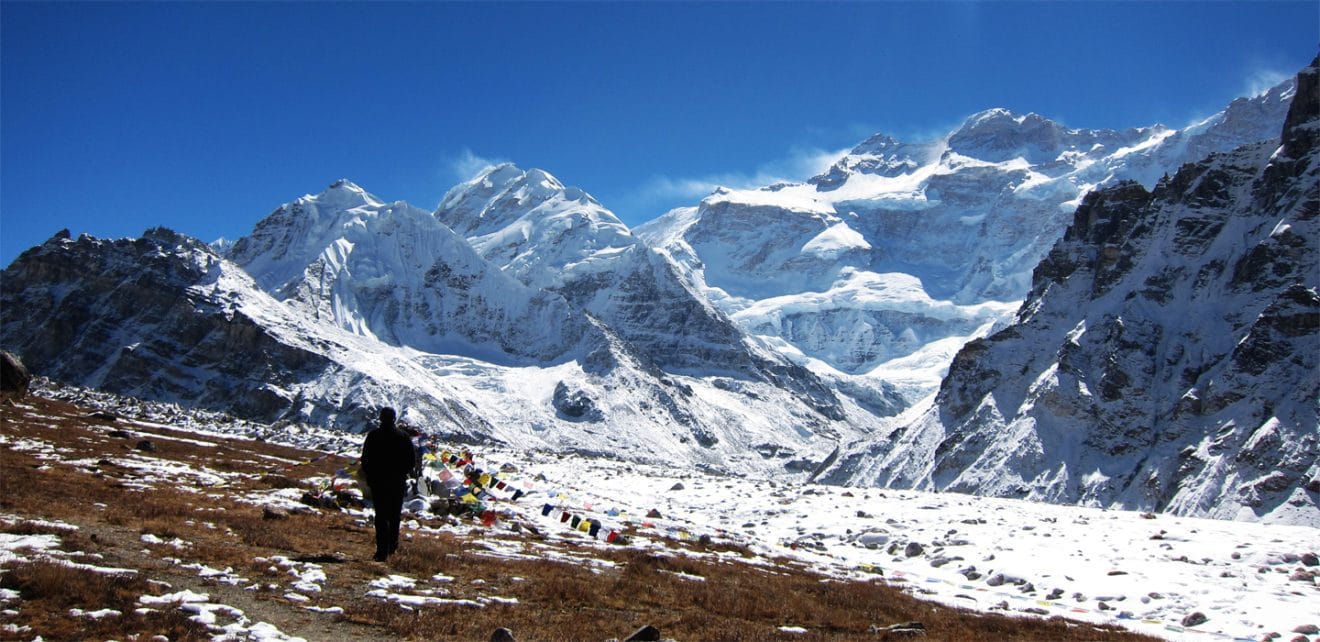
Base camp
Pangpema
5,140 m
Pangpema, at approximately 5,140m, is the North Base Camp of Kanchenjunga, offering spectacular views of the mountain's immense northern face and surrounding glaciers.
Read place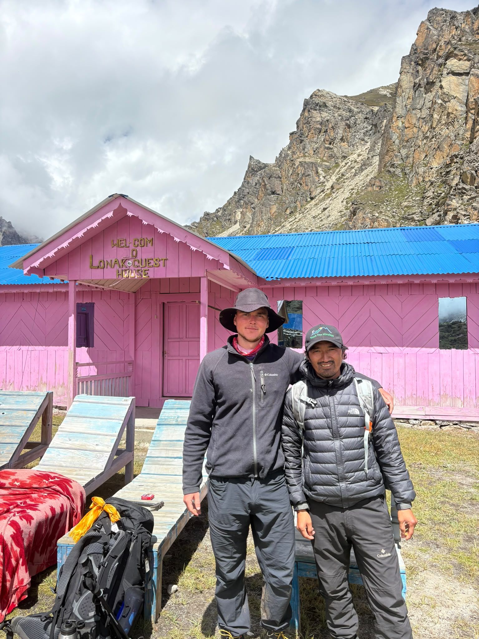
Village
Lhonak – Last Settlement Beneath Kanchenjunga
4,780 m
Lhonak is more than a stop on the Kanchenjunga trek—it is the final high-altitude staging point before Pangpema, the North Base Camp. At around 4,780–4,790 m, trekkers are already in a demanding glacial environment, with very limited facilities and exposed terrain.
Read place
Mountain peak
Sewalungma (सेवालुङ्मा)
8,587 m
Mount Kanchenjunga, rising 8,586 meters in eastern Nepal, is the world’s third-highest mountain and a sacred Himalayan giant known for its five peaks, glaciers, rich culture, and extraordinary beauty.
Read place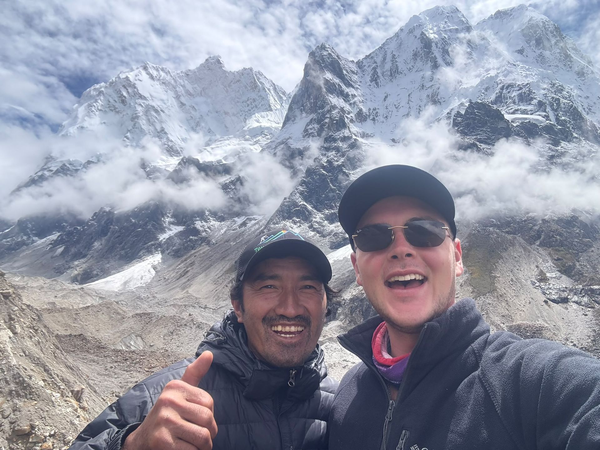
Base camp
4,730 m
Oktang is a high-altitude viewpoint above the Yalung Glacier, offering spectacular views of Kanchenjunga's southern face and surrounding Himalayan peaks.
Read place
Village
5,140 m
Pangpema, at around 5,140 m, is the northern base camp area of Mount Kanchenjunga. Reached from Lhonak through rugged glacial terrain, it offers spectacular views of Kanchenjunga’s northern face, glaciers and surrounding Himalayan peaks. Proper acclimatization is essential at this altitude.
Read place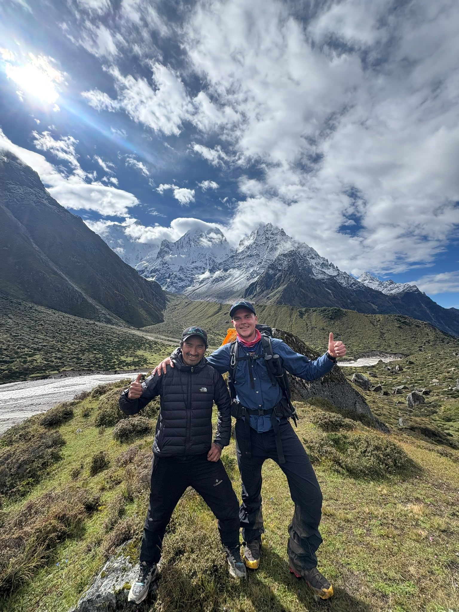
Village
4,480 m
Ramche, also known as Ramchaur, is a high-altitude camp at around 4,480m and an important staging point for the trek to Kanchenjunga South Base Camp.
Read place
Mountain peak
Ramche is a high-altitude stop on the Kanchenjunga South Base Camp route. Start early for the best mountain views, walk at a steady pace, and allow time for acclimatization.Discover Ramche Viewpoint - a spectacular high-altitude viewpoint offering dramatic views of Kanchenjunga.
Read place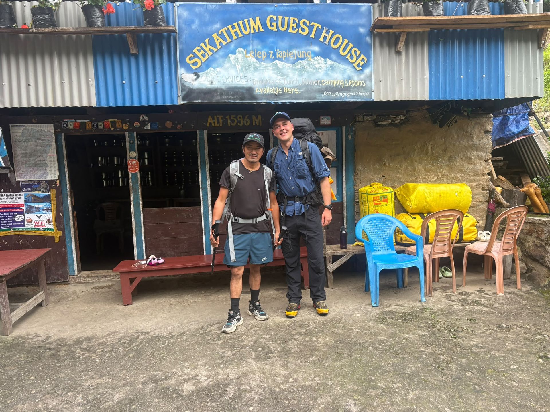
Village
Sekathum
1,640 m
Sekathum, at around 1,640 metres, is a key waypoint on the Kanchenjunga trek. Surrounded by dense forests, rushing rivers and steep mountain valleys, it marks the transition into the remote Kanchenjunga wilderness, with the trail continuing toward Amjilosa, Gyabla and Ghunsa.
Read place
Base camp
4,130 m
Sele La Camp is a remote high-altitude overnight stop above Ghunsa, serving as a staging point for the demanding pass crossing toward Tseram.
Read place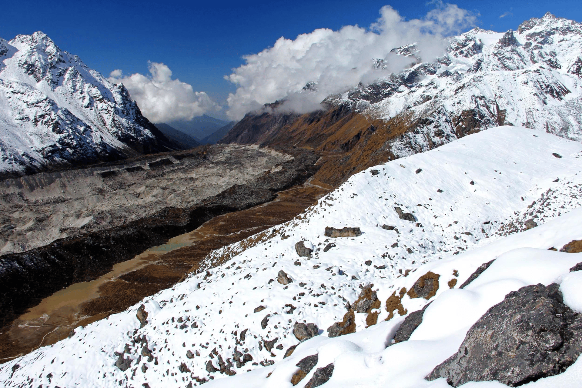
Pass
Sele La Pass is a remote 4,290m mountain crossing connecting the northern Ghunsa Valley with Tseram and the southern Kanchenjunga region.
Read place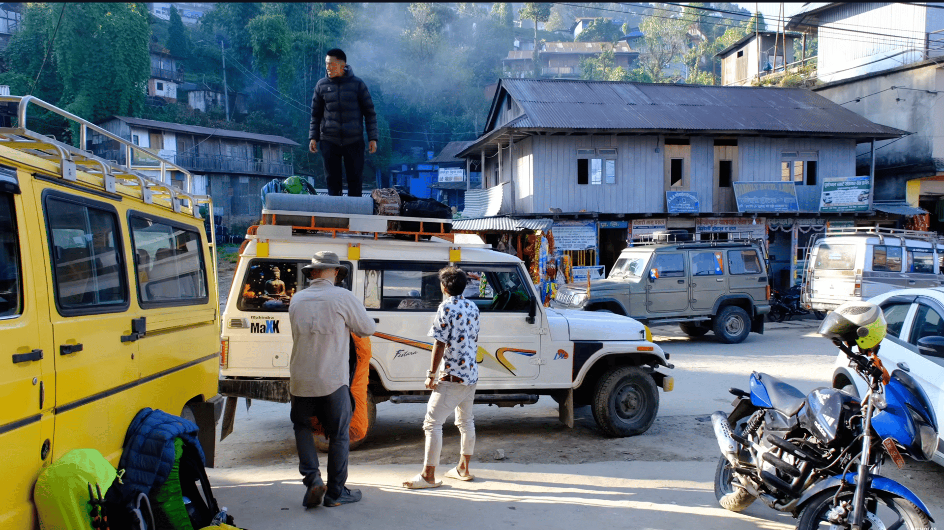
Town / city
At Kanchenjunga Guides Nepal, we believe the journey through Taplejung and its surrounding villages is an important part of the Kanchenjunga experience.
Read place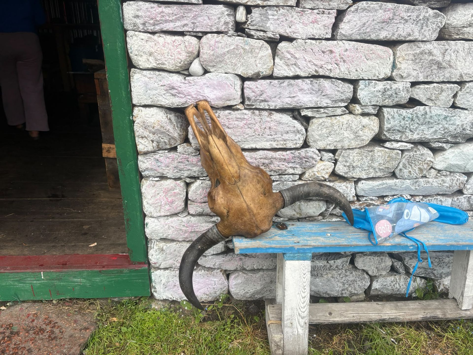
Village
Torangdin
Tortong, also known as Torangdin, is a remote trekking stop at around 2,980m on the forested southern approach to Kanchenjunga South Base Camp.
Read place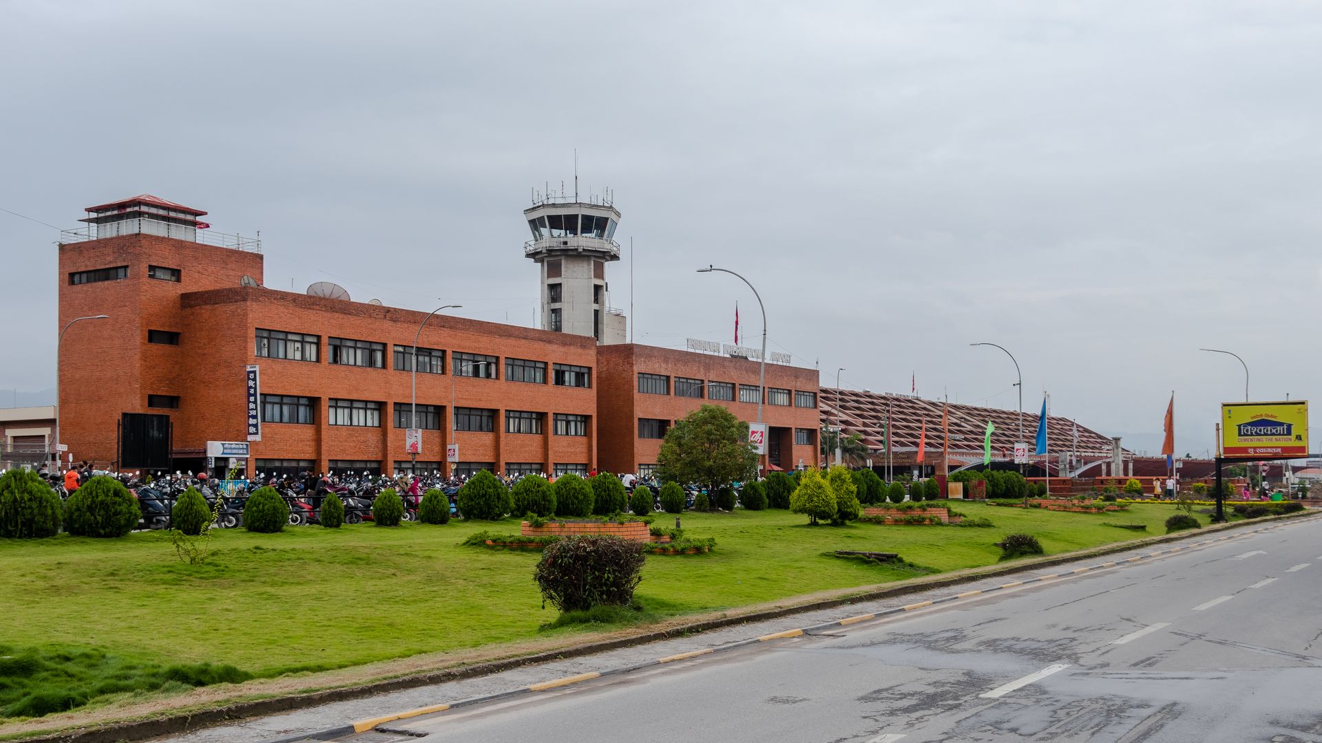
Airstrip / airport
Tribhuvan International Airport (KTM) is Nepal’s main international airport in Kathmandu and a major gateway for travelers beginning Himalayan trekking adventures.
Read place
Village
Cheram
3,870 m
Tseram, also known as Cheram, is a high-altitude settlement at around 3,870m and an important overnight stop on the southern Kanchenjunga trekking route.
Read place
Valley
Yalung
4,500 m
Yalung Valley is a spectacular high-altitude valley on the southern side of Mount Kanchenjunga in eastern Nepal. The valley leads toward the Kanchenjunga South Base Camp, with dramatic views of Kanchenjunga, glaciers, and surrounding Himalayan peaks.
Read place
