Village
Gyabla
Kyapra
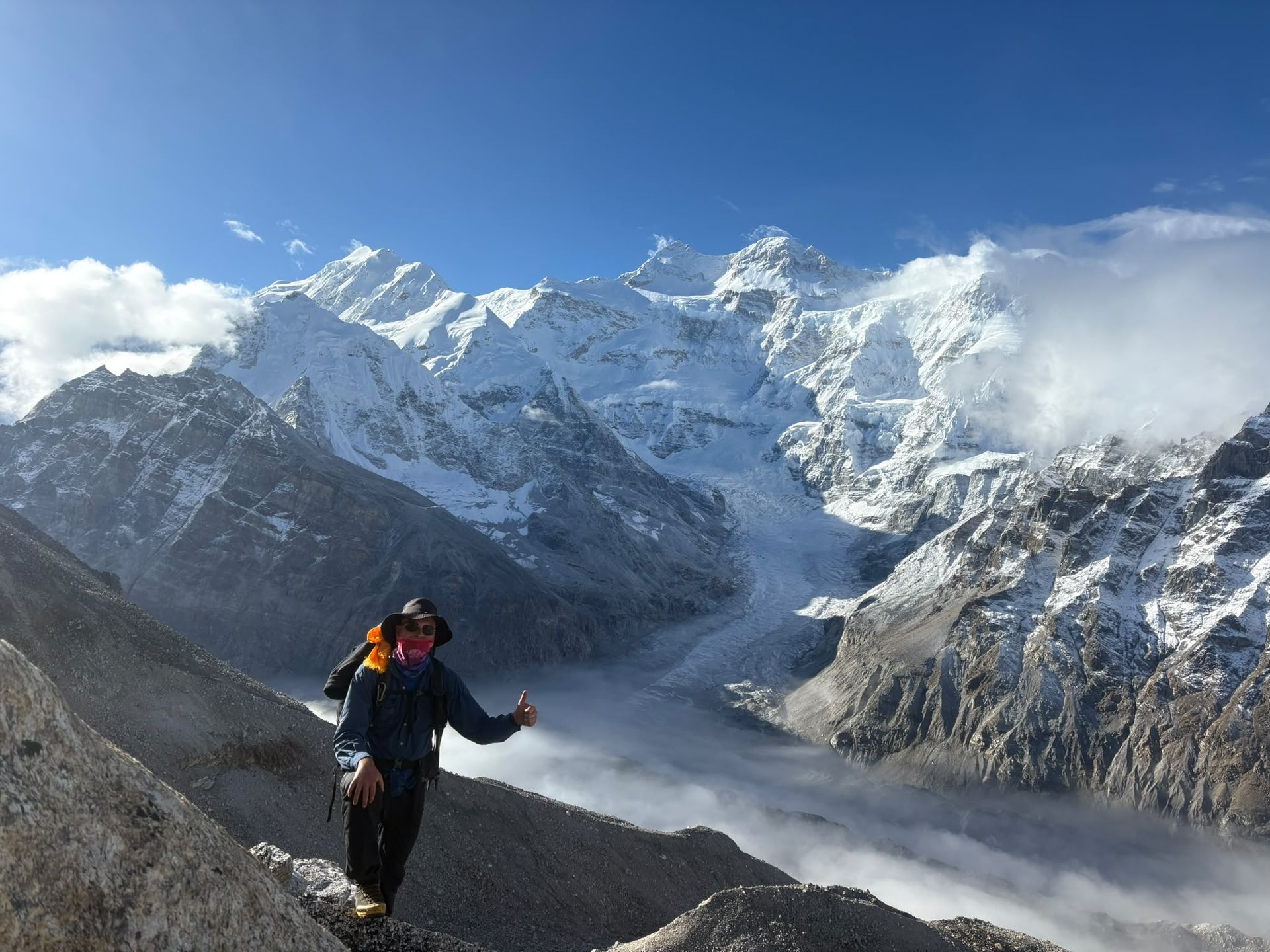
Gyabla, also known as Kyapra, sits at around 2,730m between Amjilosa and Ghunsa on the Kanchenjunga trail. Surrounded by bamboo, rhododendron and pine forests, the village offers a peaceful Himalayan setting and an important overnight stop before reaching Ghunsa.
- Name: Gyabla
- Also Known As: Kyapra / Gyaabla
- Type: Mountain Village
- Route: Amjilosa → Gyabla → Phale → Ghunsa
- Accommodation: Teahouses / mountain lodges
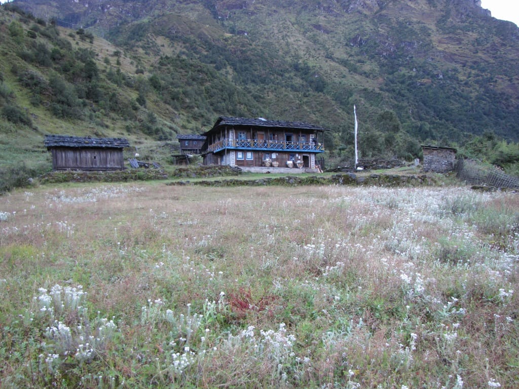
Gyabla, also known as Kyapra, is a traditional mountain village on the Kanchenjunga trekking route in eastern Nepal. Located at approximately 2,725–2,730 metres, it lies between Amjilosa and Ghunsa and is an important overnight stop on the approach to Kanchenjunga North Base Camp.
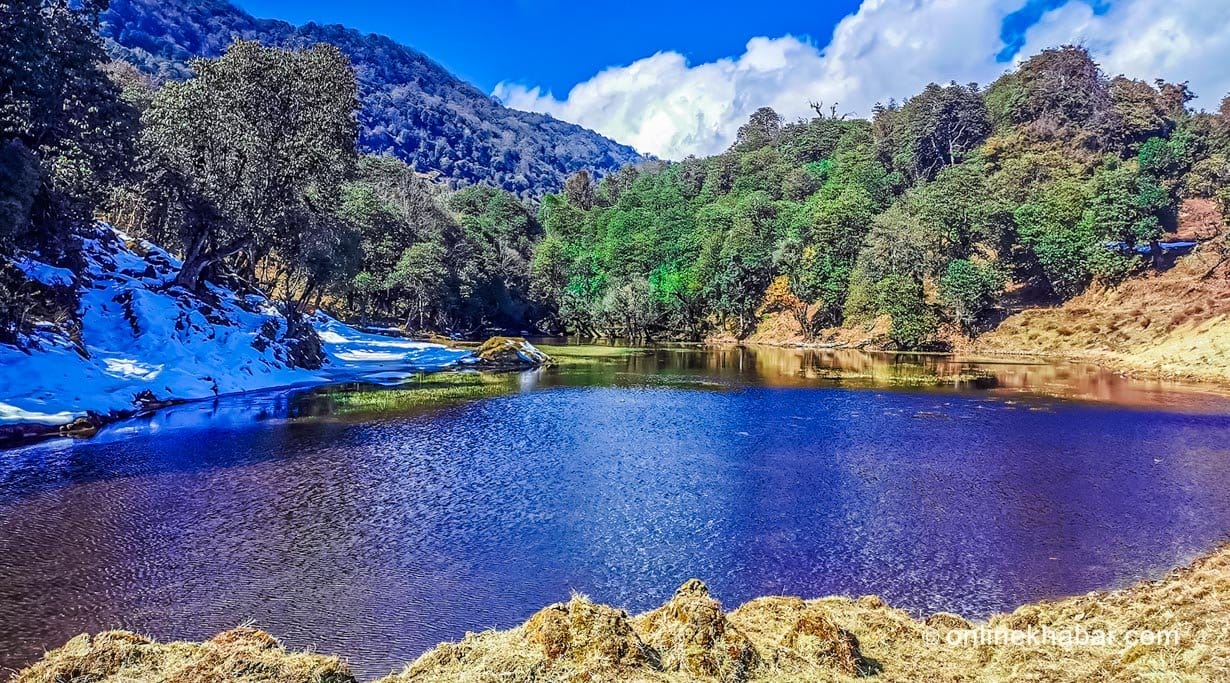
The trail from Amjilosa to Gyabla follows the Ghunsa Khola through beautiful forests of bamboo, rhododendron and pine. The route is known for its lush vegetation, waterfalls, streams and peaceful Himalayan surroundings. As trekkers gain elevation, the landscape gradually changes from the greener lower valleys toward the alpine environment of the upper Kanchenjunga region.
Gyabla is a small traditional settlement with basic mountain lodges and teahouses. Its Tibetan-influenced architecture, prayer flags and Buddhist cultural elements reflect the changing cultural character of the route as it approaches the upper Kanchenjunga valley.
The village is also situated within the Kanchenjunga Conservation Area, an important habitat for Himalayan wildlife including the elusive red panda. Although sightings are rare, the forested section around Gyabla provides suitable habitat for this endangered species.
From Gyabla, the trail continues uphill toward Ghunsa, the largest settlement in the upper Kanchenjunga valley. This section passes through forests and the seasonal settlement of Phale before reaching Ghunsa.
For trekkers completing the Kanchenjunga North Base Camp or Kanchenjunga Circuit Trek, Gyabla provides a peaceful place to rest before continuing toward the higher-altitude settlements of Ghunsa, Kambachen and Lhonak.
Nearby places

Town / city
Sekathum-Gateway to Kanchenjunga
Sukethum
1,640 m
Sekathum, at around 1,640 metres, is a key waypoint on the Kanchenjunga trek. Surrounded by dense forests, rushing rivers and steep mountain valleys, it marks the transition into the remote Kanchenjunga wilderness, with the trail continuing toward Amjilosa, Gyabla and Ghunsa.
Read place
Village
Amjilosa
2,510 m
Amjilosa is a remote Himalayan village on the Kanchenjunga trekking route, surrounded by forests and steep mountain valleys between Sekathum and Gyabla.
Read place
Conservation area
Kanchenjunga Conservation Area
Kanchenjunga Region
4,474 m
Kanchenjunga Conservation Area is a 2,035 km² protected landscape in eastern Nepal, home to Kanchenjunga, diverse Himalayan ecosystems, rare wildlife and culturally rich mountain communities. It is the heart of the Kanchenjunga trekking region
Read place