

Mountain peak
Rathong
Rathong is a 6,682 m peak on the Nepal–Sikkim border, south of the Kabru massif. Its glaciers feed rivers in both Nepal and Sikkim.
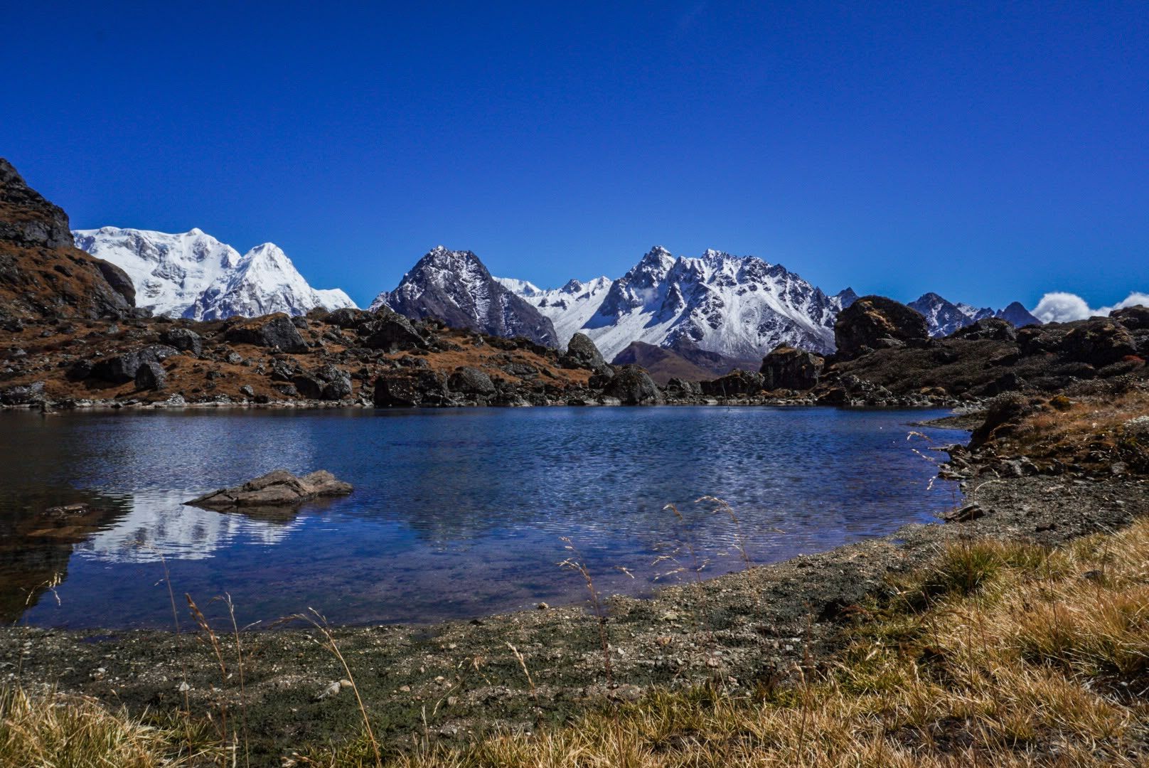
- Summit: 6,682 m / 21,923 ft
- Type: Mountain
- Region: Kanchenjunga Region
- District: Taplejung
- Treks: Kanchenjunga South Base Camp Trek
About Rathong
Rathong is a 6,682 m peak on the Nepal–Sikkim border, south of the Kabru massif. Its glaciers feed rivers in both Nepal and Sikkim.
It is part of the skyline from the southern Kanchenjunga route.
Location and altitude
Rathong rises to 6,682 m (21,923 ft) in Taplejung district, in the Kanchenjunga Region of Nepal. Nearby places include Kabru and Kabru South.
Treks that visit Rathong
Rathong is part of these Nepal Trek Services itineraries: Kanchenjunga South Base Camp Trek and Kanchenjunga Circuit Trek (North and South Base Camps).
Best time to visit
The best seasons for Rathong are spring (March to May) and autumn (late September to November). Winter brings snow and cold to the high Kanchenjunga valleys, and the June–August monsoon brings heavy rain, leeches and cloud lower down.
Where is Rathong?
The exact point on the Kanchenjunga trail, with nearby places for context.
On this map
Nearby places
Mountain range
Kabru
7,412 m
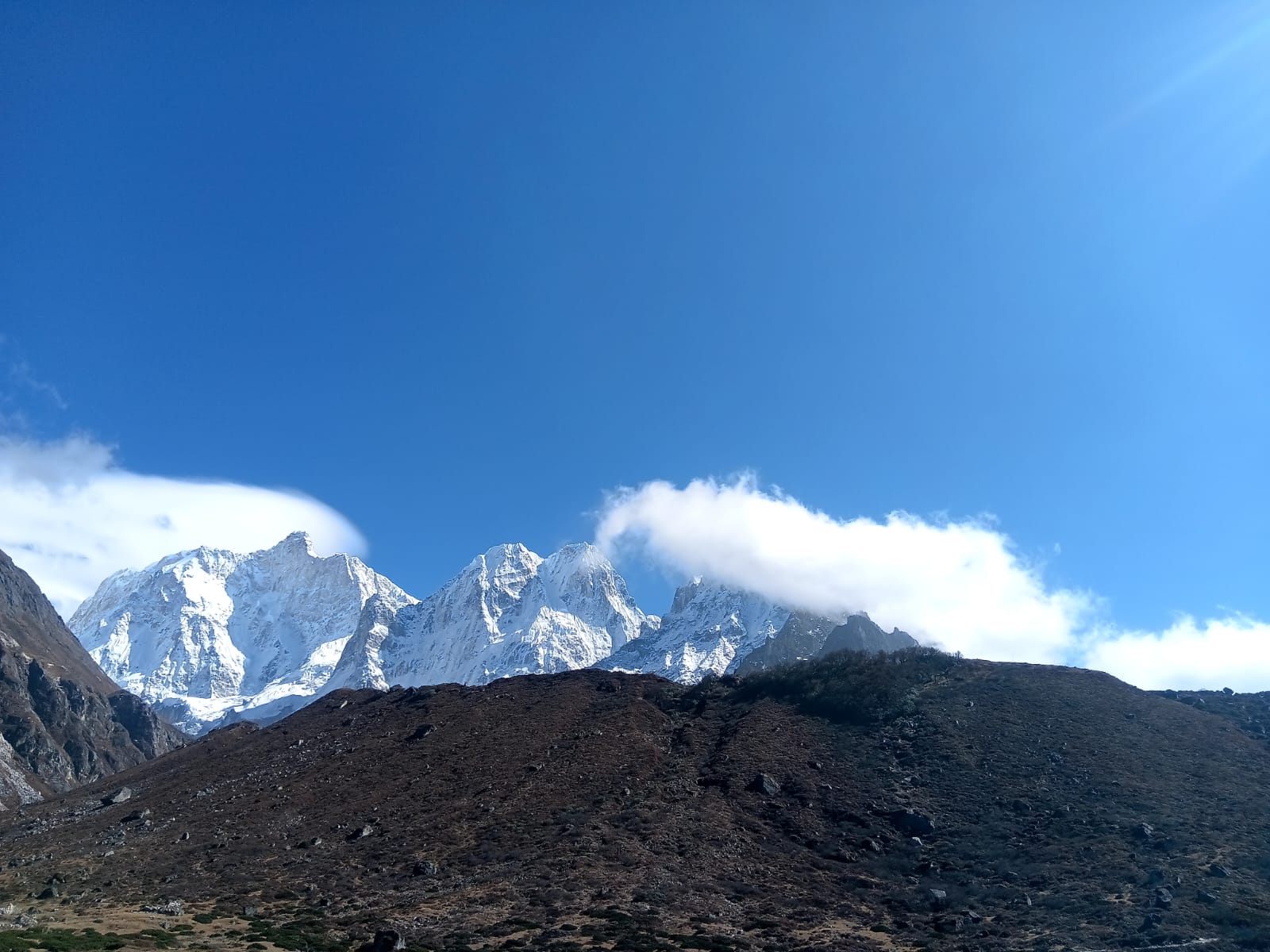
Kabru is a massif on the Nepal–Sikkim border south of Kanchenjunga, with two main summits, Kabru North and Kabru South. It forms part of the long ridge seen from Oktang and Kanchenjunga South Base Camp.
Read place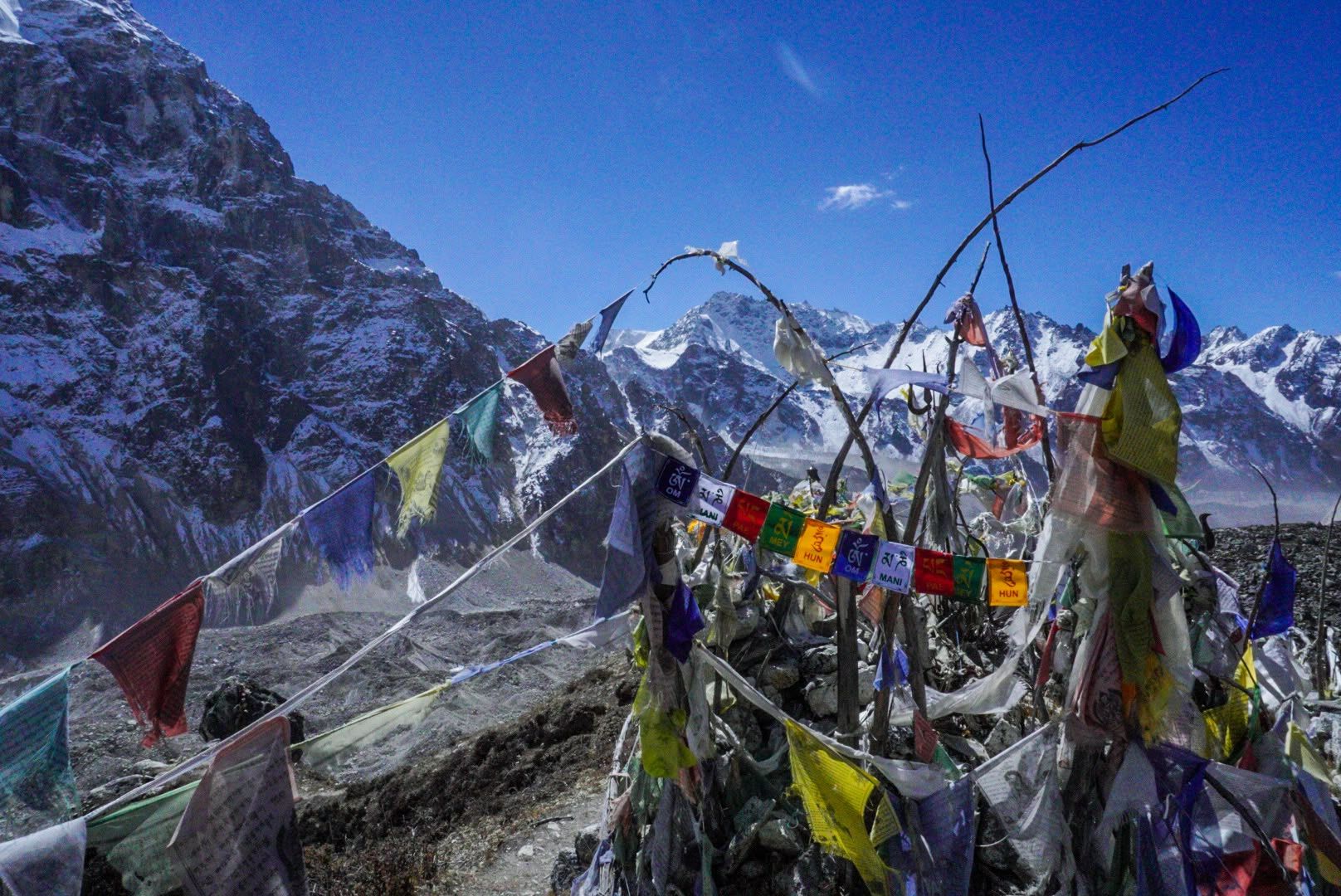
Mountain peak
Kabru South
7,318 m
Kabru South is the southern summit of the Kabru massif on the Nepal–Sikkim border.
Read place