

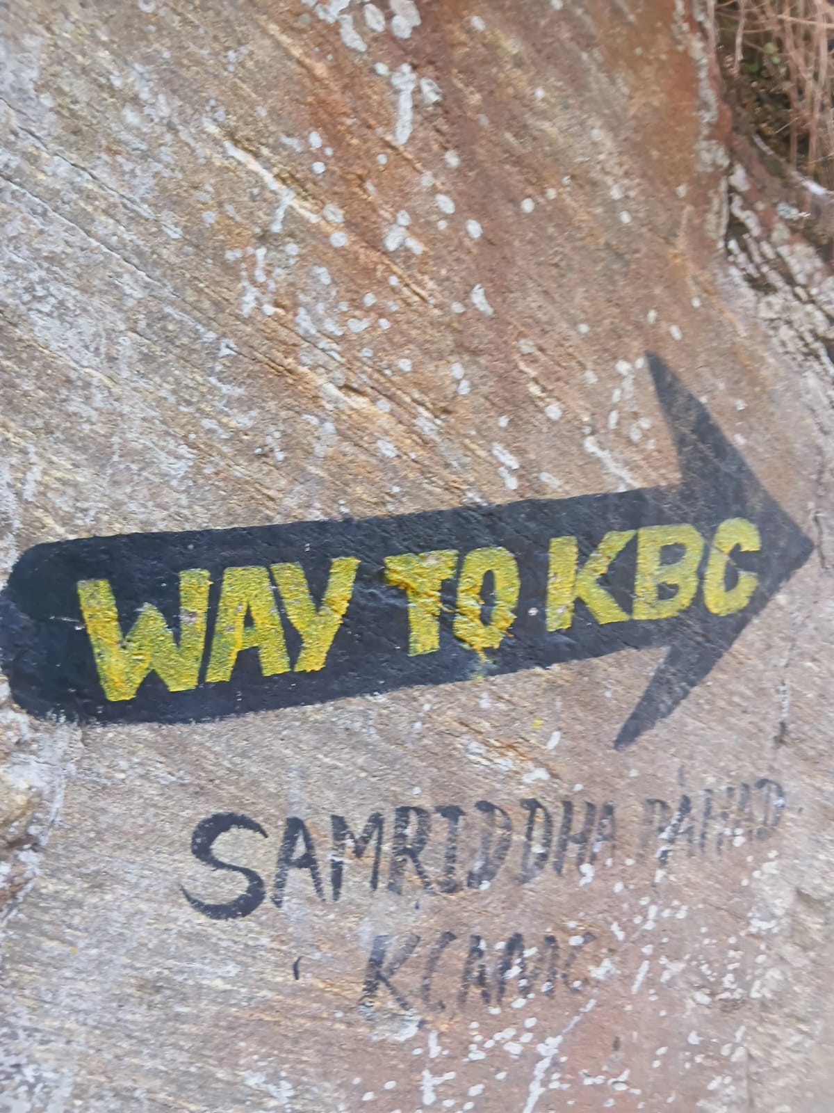
Village
Amjilosa
2,510 m
Amjilosa is a remote Himalayan village on the Kanchenjunga trekking route, surrounded by forests and steep mountain valleys between Sekathum and Gyabla.
Read placeThe region
Village
2,510 m
Amjilosa is a remote Himalayan village on the Kanchenjunga trekking route, surrounded by forests and steep mountain valleys between Sekathum and Gyabla.
Read place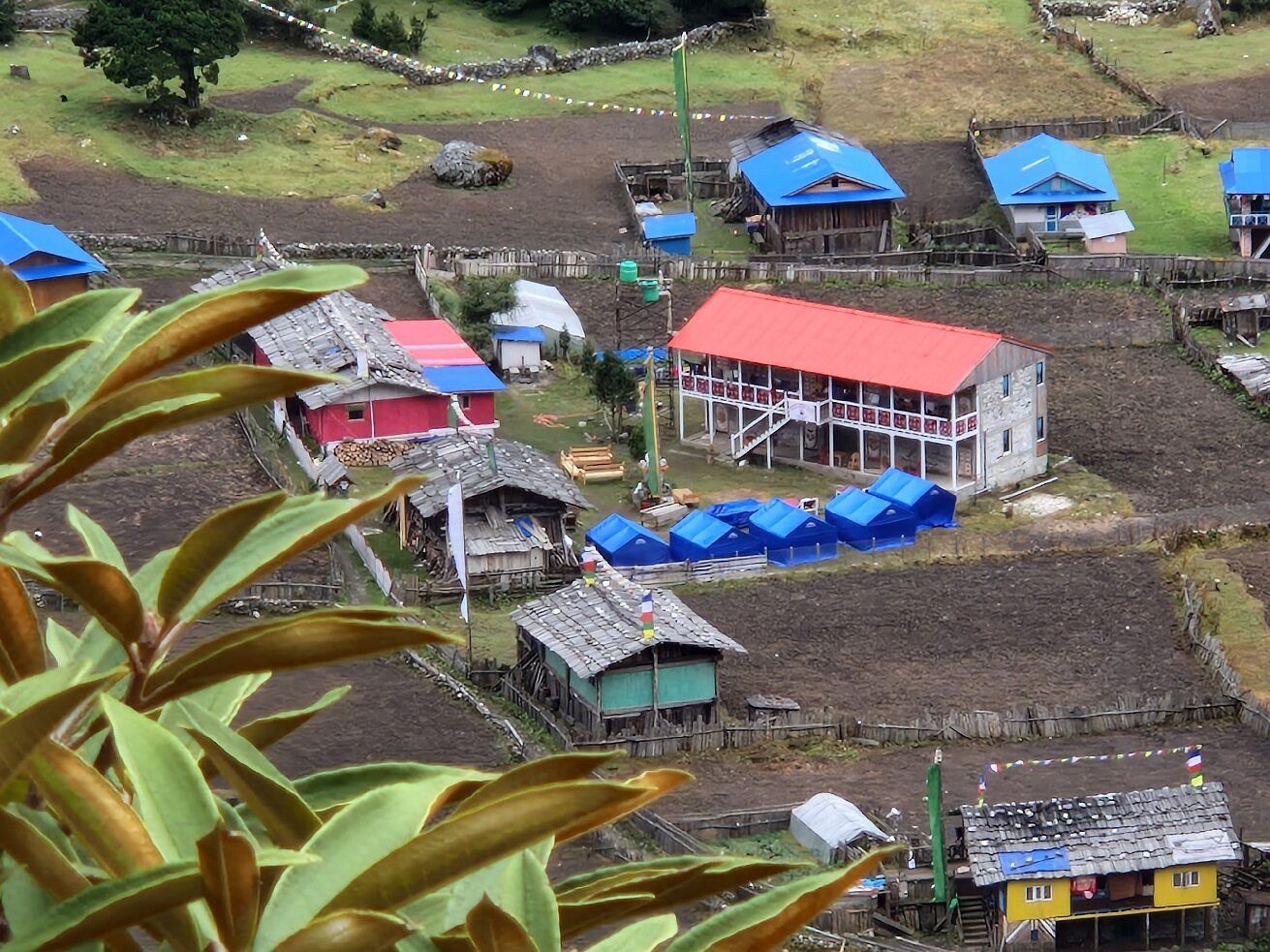
Village
1,270 m
Chirwa is a small village on the banks of the Tamor River, a common overnight stop on the first days of the Kanchenjunga North Base Camp trek. It is a warm, low-lying settlement among cardamom fields.
Read place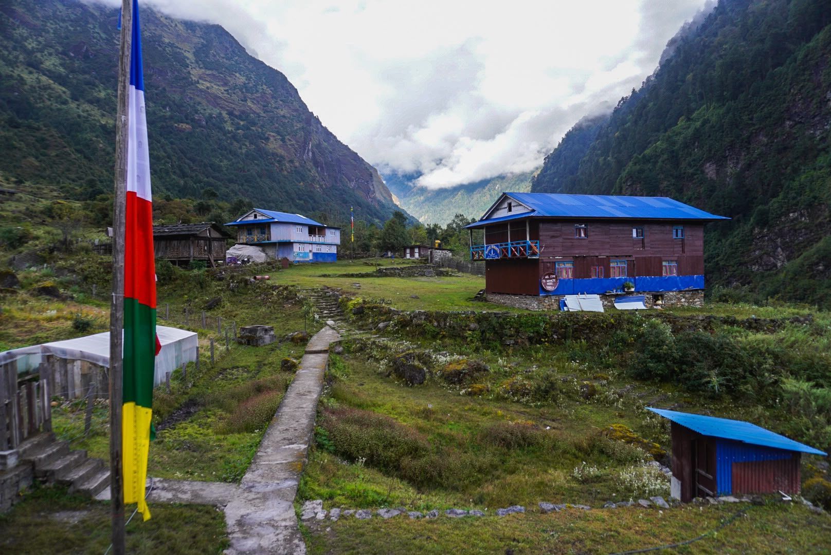
Village
Kyapra
2,730 m
Gyabla, also known as Kyapra, sits at around 2,730m between Amjilosa and Ghunsa on the Kanchenjunga trail. Surrounded by bamboo, rhododendron and pine forests, the village offers a peaceful Himalayan setting and an important overnight stop before reaching Ghunsa.
Read place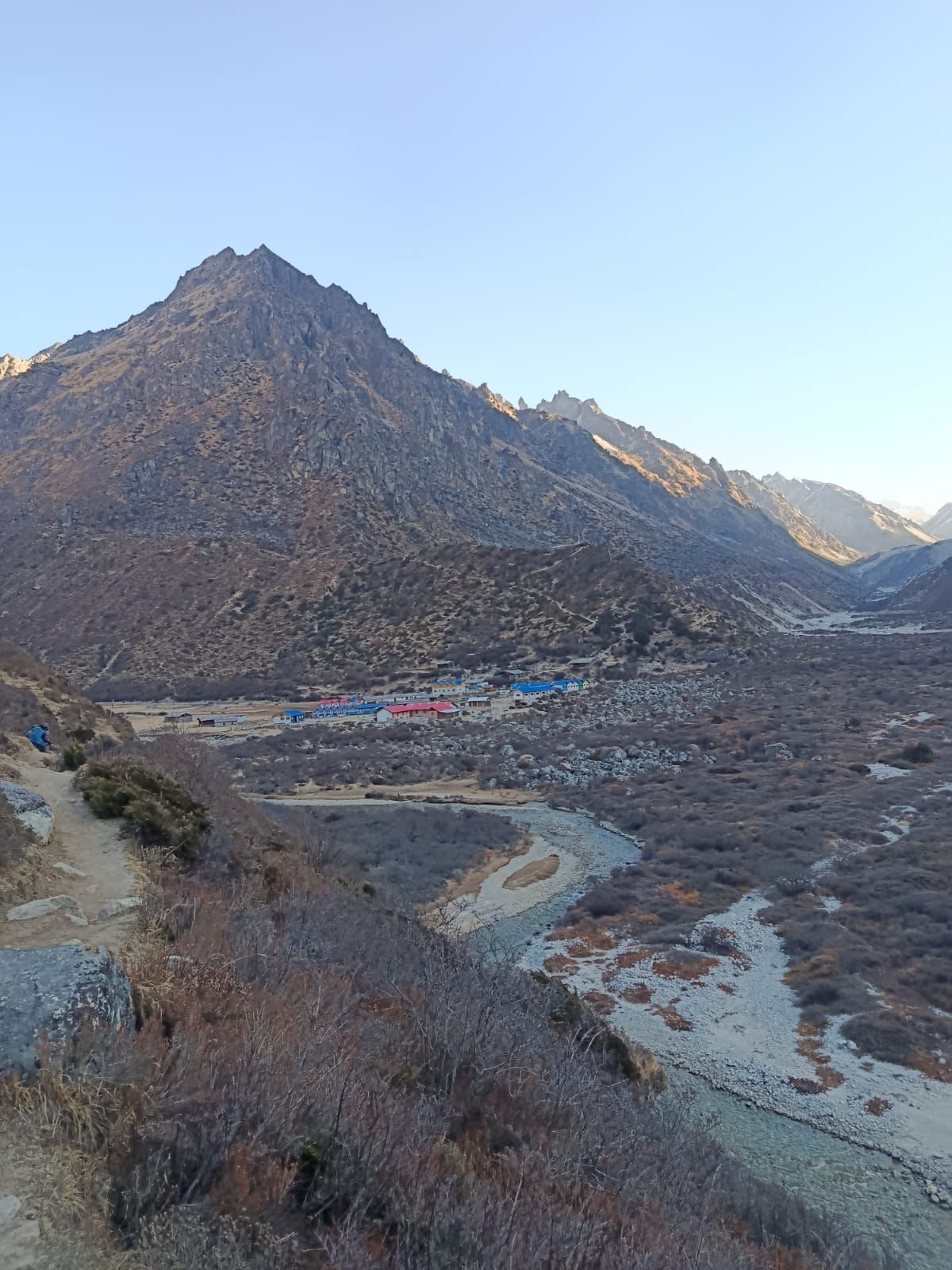
Village
Khambachen
4,145 m
Kambachen at 4,145 m is a remote high-altitude settlement on the Kanchenjunga North Base Camp route, surrounded by dramatic alpine landscapes and views toward Jannu.
Read place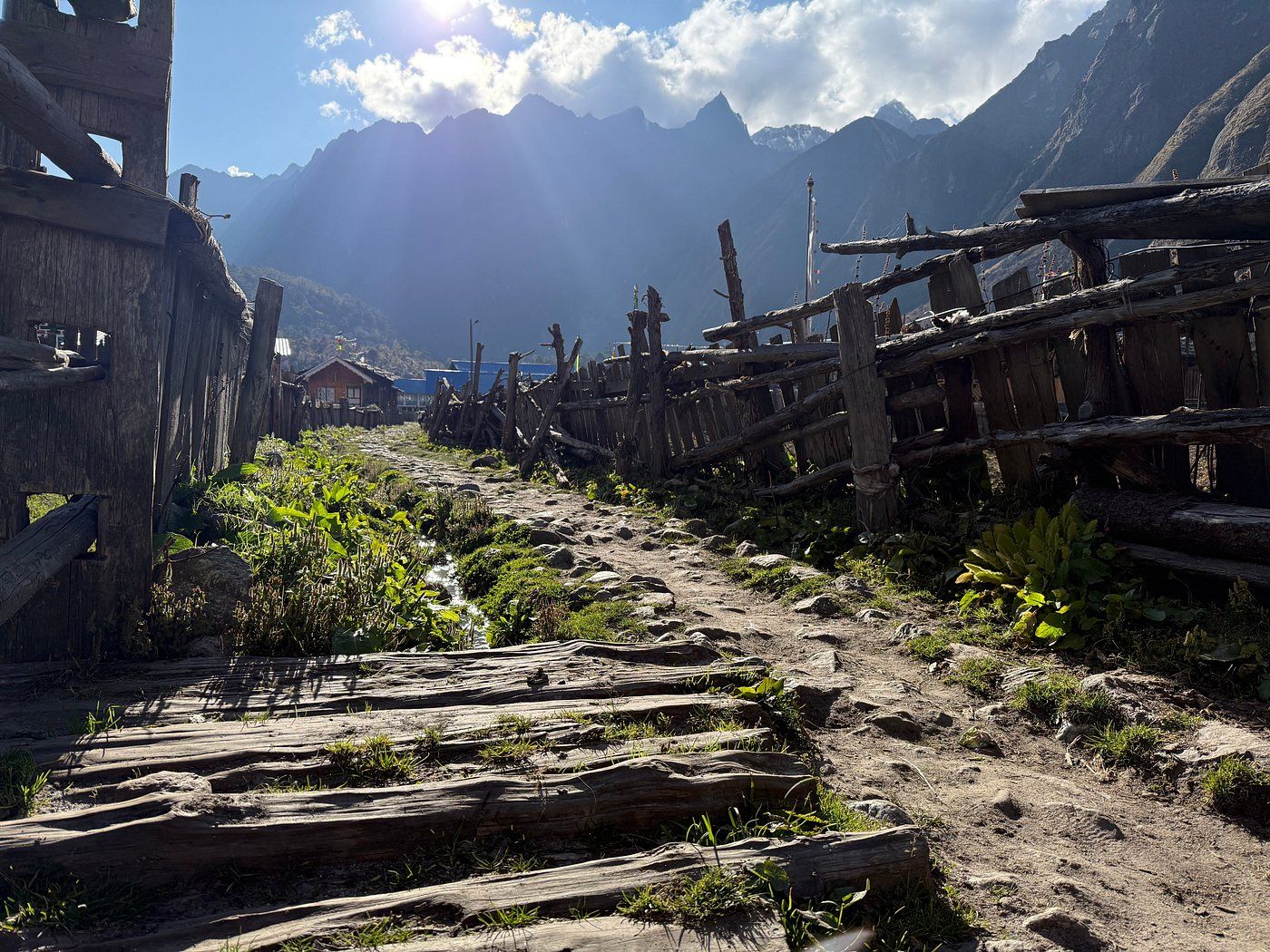
Village
Lelep is a village area in northern Taplejung on the route towards the Kanchenjunga Conservation Area. Trekkers pass through on the lower Tamor valley section of the northern route.
Read place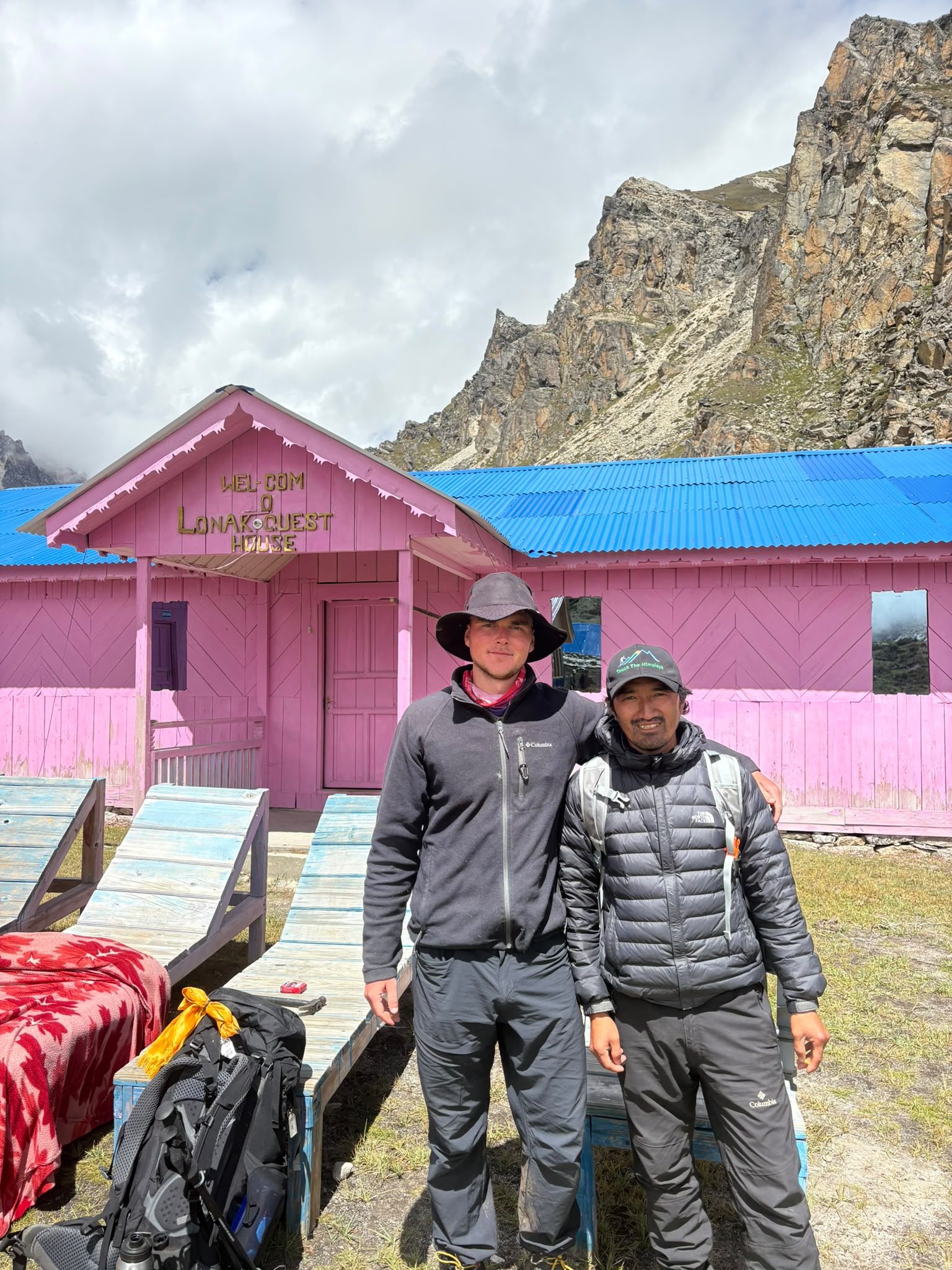
Village
Lhonak – Last Settlement Beneath Kanchenjunga
4,780 m
Lhonak is more than a stop on the Kanchenjunga trek—it is the final high-altitude staging point before Pangpema, the North Base Camp. At around 4,780–4,790 m, trekkers are already in a demanding glacial environment, with very limited facilities and exposed terrain.
Read place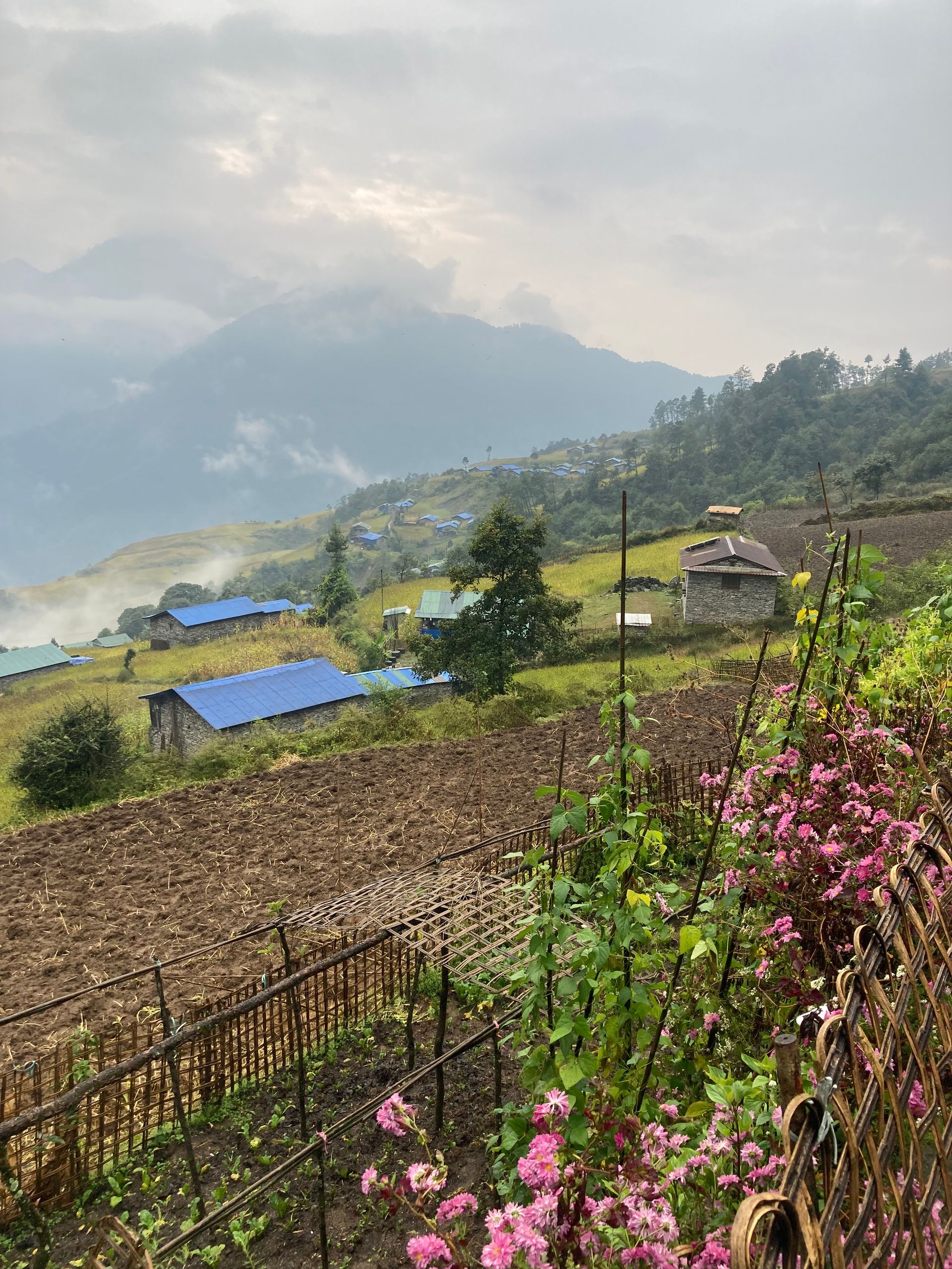
Village
ओलाङचुङ गोला
3,200 m
Olangchung Gola is an old Tibetan trading village near the Tibet border, with wooden houses and the Dingsamba Gompa, said to be over 500 years old. It lies in a remote valley of the northern Kanchenjunga region. It is a key stop on the Olangchung Gola and Lumba Sumba treks.
Read place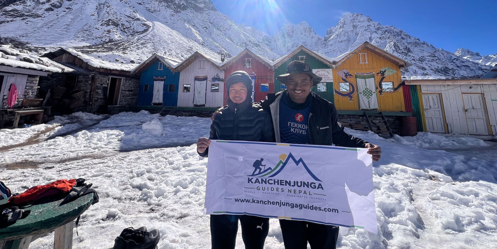
Village
5,140 m
Pangpema, at around 5,140 m, is the northern base camp area of Mount Kanchenjunga. Reached from Lhonak through rugged glacial terrain, it offers spectacular views of Kanchenjunga’s northern face, glaciers and surrounding Himalayan peaks. Proper acclimatization is essential at this altitude.
Read place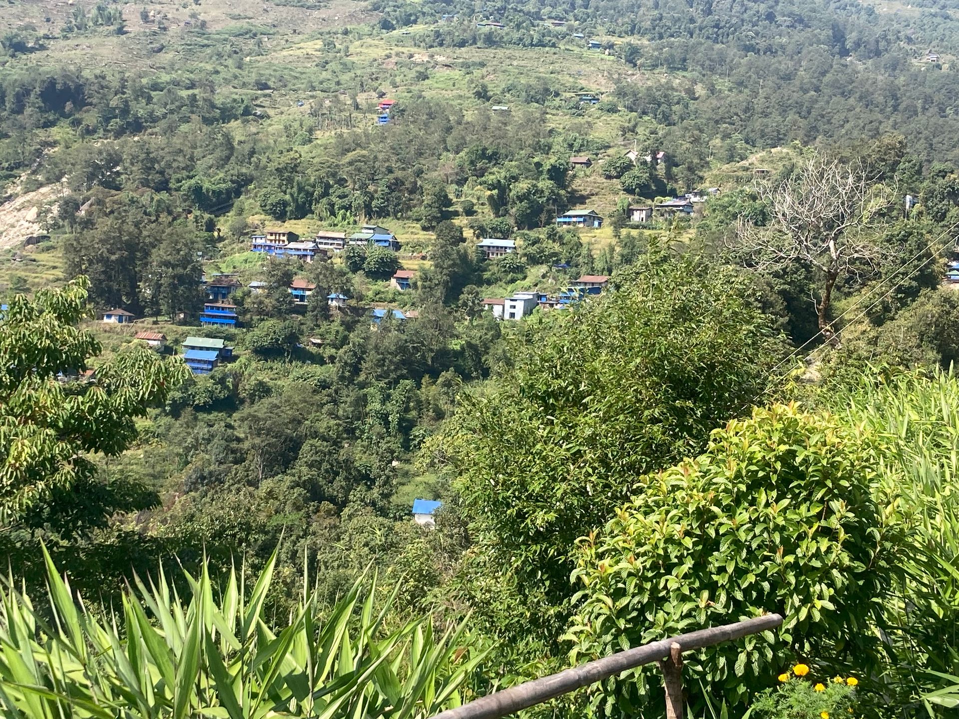
Village
Papung Loden is a village in Taplejung district in the Kanchenjunga region of eastern Nepal.
Read place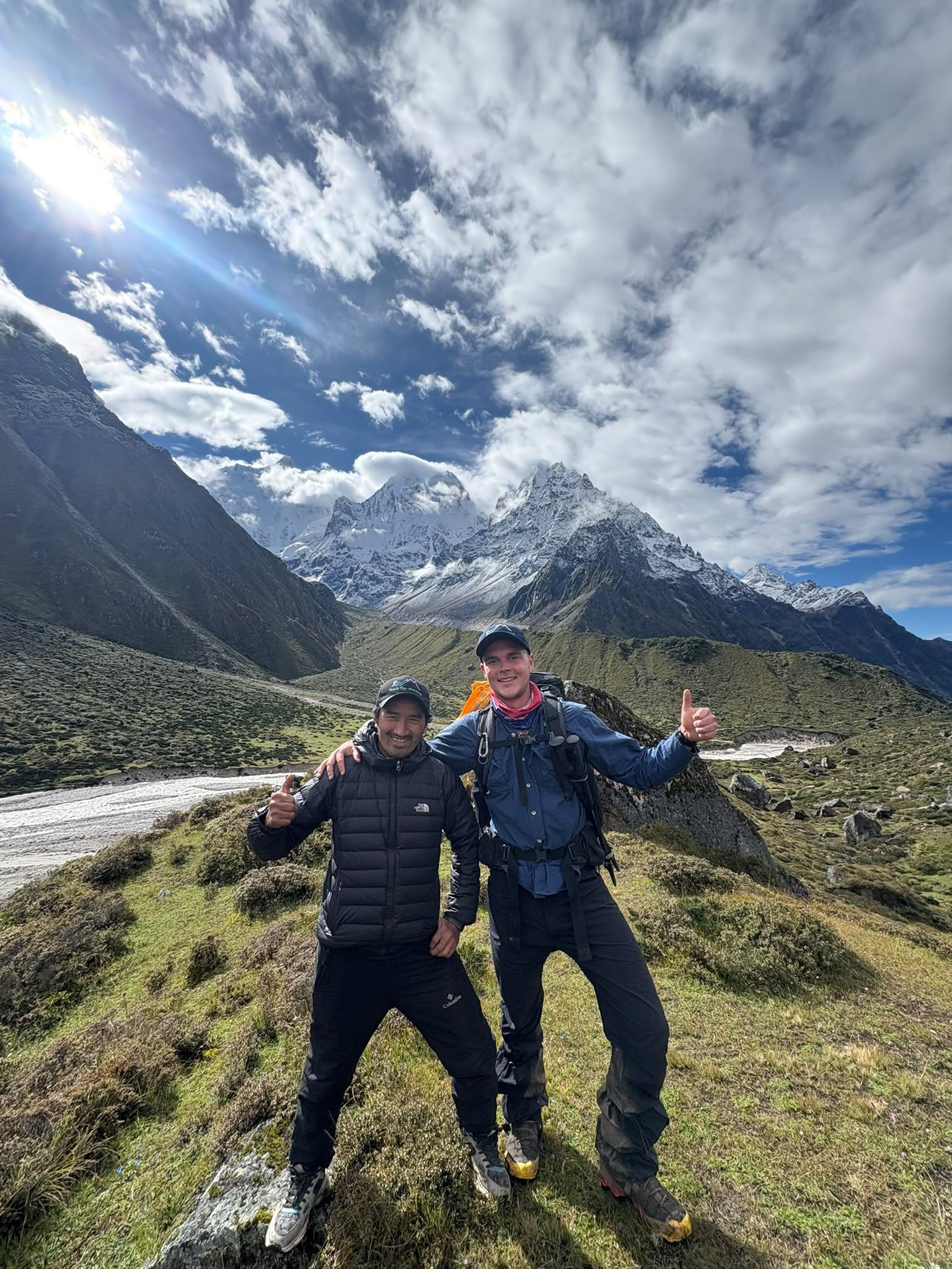
Village
4,480 m
Ramche, also known as Ramchaur, is a high-altitude camp at around 4,480m and an important staging point for the trek to Kanchenjunga South Base Camp.
Read place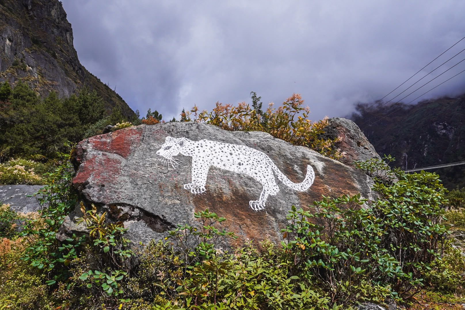
Village
Sekathum
1,640 m
Sekathum, at around 1,640 metres, is a key waypoint on the Kanchenjunga trek. Surrounded by dense forests, rushing rivers and steep mountain valleys, it marks the transition into the remote Kanchenjunga wilderness, with the trail continuing toward Amjilosa, Gyabla and Ghunsa.
Read place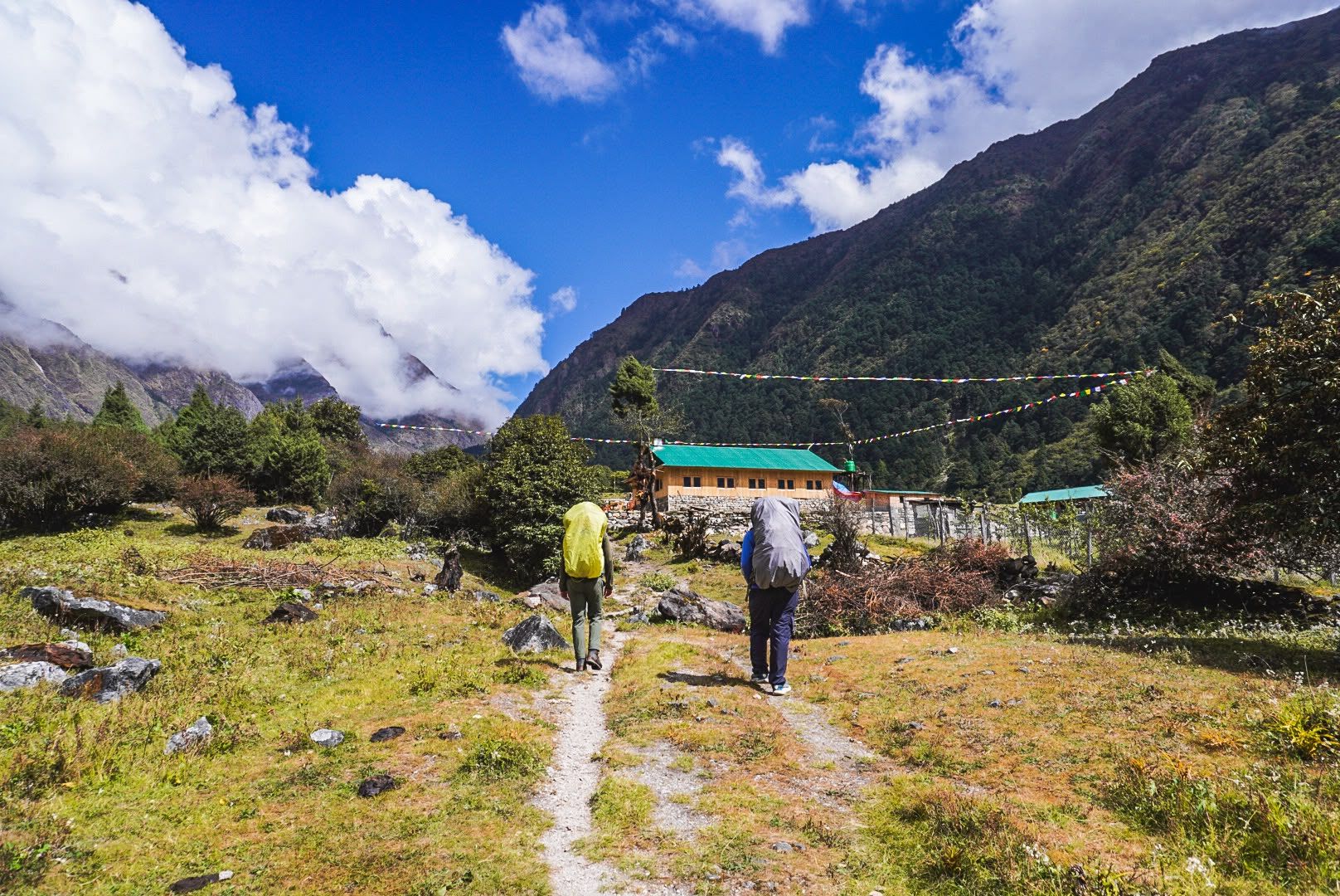
Village
Torangdin
Tortong, also known as Torangdin, is a remote trekking stop at around 2,980m on the forested southern approach to Kanchenjunga South Base Camp.
Read place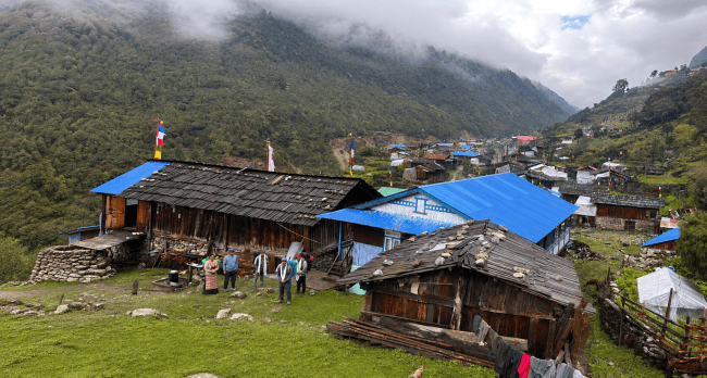
Village
Cheram
3,870 m
Tseram, also known as Cheram, is a high-altitude settlement at around 3,870m and an important overnight stop on the southern Kanchenjunga trekking route.
Read place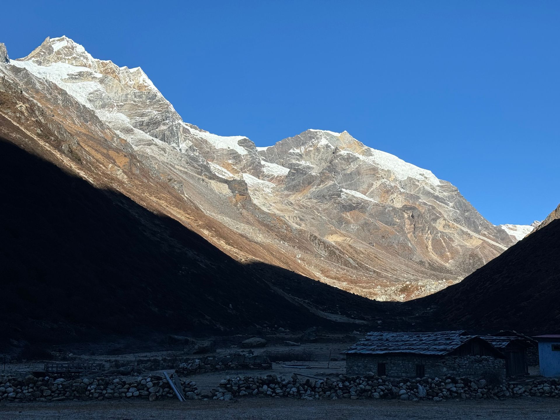
Village
याङ्मा
4,200 m
Yangma is a high, remote yak-herding village in the northern Kanchenjunga region, close to the Tibet border. It sits in a stark glacial valley. Only a few trekkers reach this far.
Read place Chat with MadanTypically replies in a few minutes